Hurricane season runs to Nov. 30. Look up your Virginia Beach evacuation zone, A to D, on the state map; sign up for VBAlert. City info: 757-385-3111.
Last checked Oct. 18, 2026. Facts on this page come from the City of Virginia Beach Department of Emergency Management, the Virginia Department of Emergency Management and the National Weather Service. The Atlantic hurricane season runs June 1 to Nov. 30.
Hurricanes can bring storm surge, flooding, high wind and tornadoes to Virginia Beach, and the city’s emergency managers list them among the main hazards it plans for. Three things to do now: look up your evacuation zone, sign up for VBAlert and bookmark the city’s emergency website.
Who to call
- Life-threatening emergency: 911
- Police, fire or rescue, not life-threatening: 757-385-5000
- City information and Emergency Management: 757-385-3111
- Water and sewer: 757-385-4631; after hours 757-385-3111
- Storm debris: Waste Management, 757-385-4650
- Power outages: Dominion Energy, 888-667-3000
- Gas leaks: Virginia Natural Gas, 877-572-3342
- American Red Cross: 757-446-7700
- FEMA: 800-621-3362 (TTY 800-462-7585)
Know your zone
Coastal Virginia sorts addresses into hurricane evacuation zones A through D, drawn by state and local emergency managers from engineering data. When a storm threatens, officials tell residents which zones must leave, through news outlets and social media. Find your zone by typing your address into the Know Your Zone map. The state’s hurricane evacuation guide (PDF) has checklists. Know your zone before a storm is named.
Flood risk is separate from your zone. Look up your property’s flood zone on FEMA’s flood map tool. Homeowners insurance does not cover flooding; that takes a separate policy, the city notes.
Evacuation routes
The city lists these evacuation routes:
- Interstates 64 and 264
- I-664 north through the Monitor-Merrimac Memorial Bridge-Tunnel
- U.S. Route 17 north
- U.S. Route 58 west
- U.S. Route 460 west
- State Route 10 west
The Chesapeake Bay Bridge-Tunnel is not an evacuation route, because it is exposed to high winds.
Only the governor can order lanes reversed on I-64. If that happens, all lanes run west from mile marker 273 in Norfolk, just east of the Hampton Roads Bridge-Tunnel, to I-295, and the only exits from the reversed lanes are Exit 234 at Williamsburg and Exit 205 at Bottoms Bridge.
Before you leave
The city’s checklist for evacuating includes:
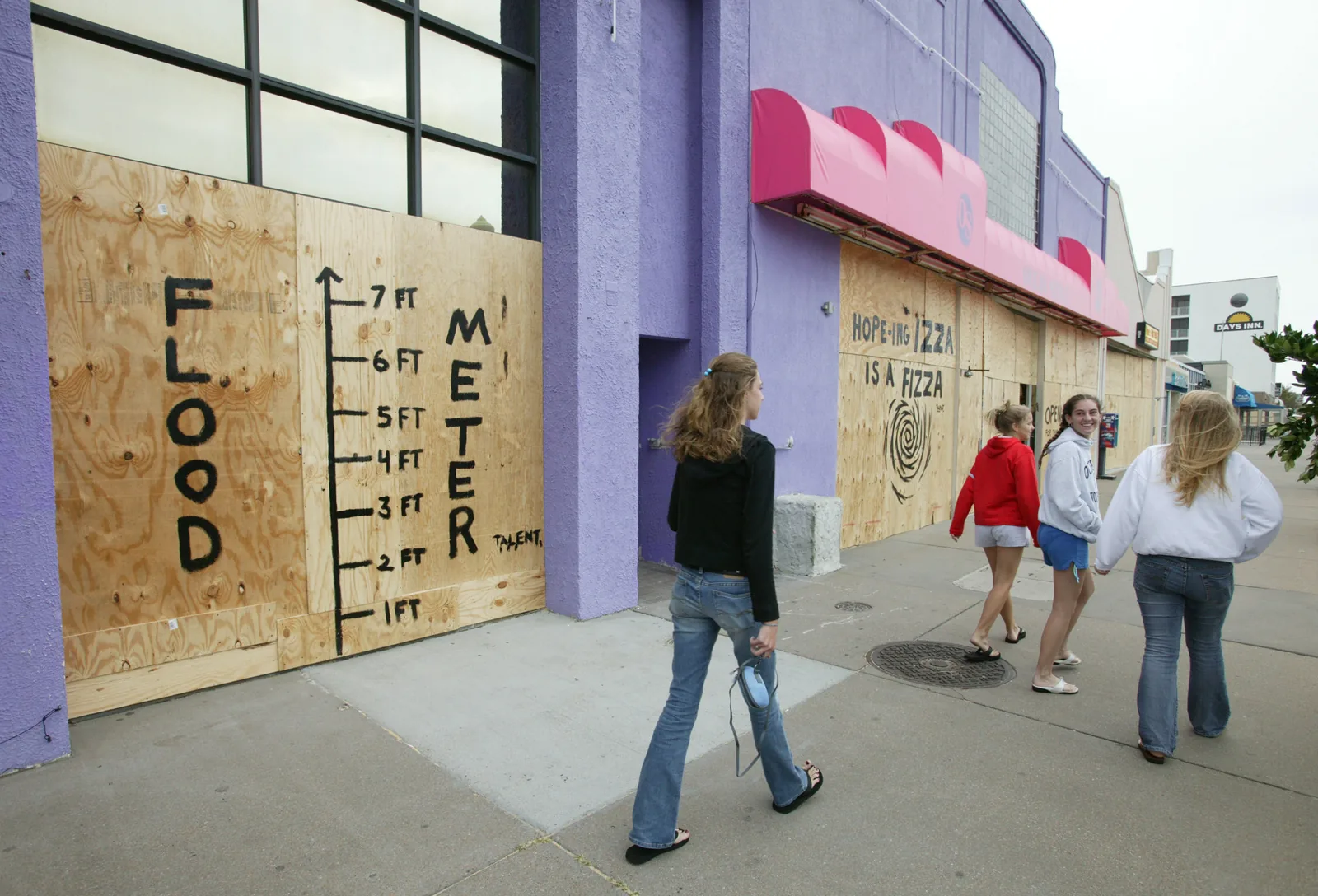
- Board or shutter windows and bring in patio furniture, plants and grills.
- Raise valuables off the floor, or move them upstairs.
- Turn off electricity at the main breaker, and gas at the meter or tank.
- Take insurance policies, a list or photos of your belongings, medicine and documents.
- Pack water, food, a first-aid kit and dry clothes.
- Do not tow a boat or trailer in high winds, and do not ride out a storm in your car. If traffic stalls completely, go home.
Evacuation centers
The city calls evacuation centers a last resort, for people with no safer place to go. Only some may open for a given storm, and locations and opening times are announced on the city’s website and social media and on local TV and radio, according to the evacuation centers page. Expect close quarters for several days. Plan for pets in advance with the city’s pet preparedness tips.
Sandbags and the sales tax holiday
The city’s emergency management pages list no standing sandbag sites. Watch VBAlert and emergency.virginiabeach.gov for storm-specific notices.
We could not confirm a 2026 Virginia sales tax holiday for hurricane supplies; the state Department of Taxation’s sales tax holiday page was offline when we checked on Oct. 18. Check tax.virginia.gov before you shop on that basis.
Stay informed
- VBAlert: the city’s free opt-in alerts.
- emergency.virginiabeach.gov: switched on during a disaster.
- National Weather Service, Wakefield: the forecast office that issues watches and warnings for Virginia Beach.
- National Hurricane Center: storm tracks and cones.
Flood protection since Matthew
Ten years after Hurricane Matthew, the city’s Flood Protection Program has finished nine projects with four more under construction, installed pump stations in Sherwood Lakes and Ashville Park and secured $73.4 million in grants, the city reported Sept. 17.
What this means for you
- Hurricane season is not over until Nov. 30.
- Write your zone letter down where the whole household can see it.
- Save the city’s numbers above in your phone before the power goes out.
Related: power outages, trash and storm debris pickup and who to call at City Hall.
Frequently asked questions
What hurricane evacuation zone am I in in Virginia Beach?
Enter your street address in the Virginia Department of Emergency Management’s Know Your Zone map. Coastal Virginia uses zones A through D, and officials order evacuations by zone.
What are the hurricane evacuation routes from Virginia Beach?
Interstates 64 and 264, I-664 north through the Monitor-Merrimac Memorial Bridge-Tunnel, U.S. 17 north, U.S. 58 west, U.S. 460 west and State Route 10 west. The Chesapeake Bay Bridge-Tunnel is not an evacuation route.
Where are the hurricane shelters in Virginia Beach?
The city opens evacuation centers only when needed, and only some may open for a given storm. Locations are announced on emergency.virginiabeach.gov, city social media, TV and radio.
How do I get emergency alerts in Virginia Beach?
Sign up for VBAlert, the city’s free opt-in alert system, on the Emergency Communications and Citizen Services website. During a disaster the city also activates emergency.virginiabeach.gov.
Does Virginia have a hurricane sales tax holiday?
We could not confirm one for 2026. The state Department of Taxation’s sales tax holiday page was offline when we checked on Oct. 18.
Have your say