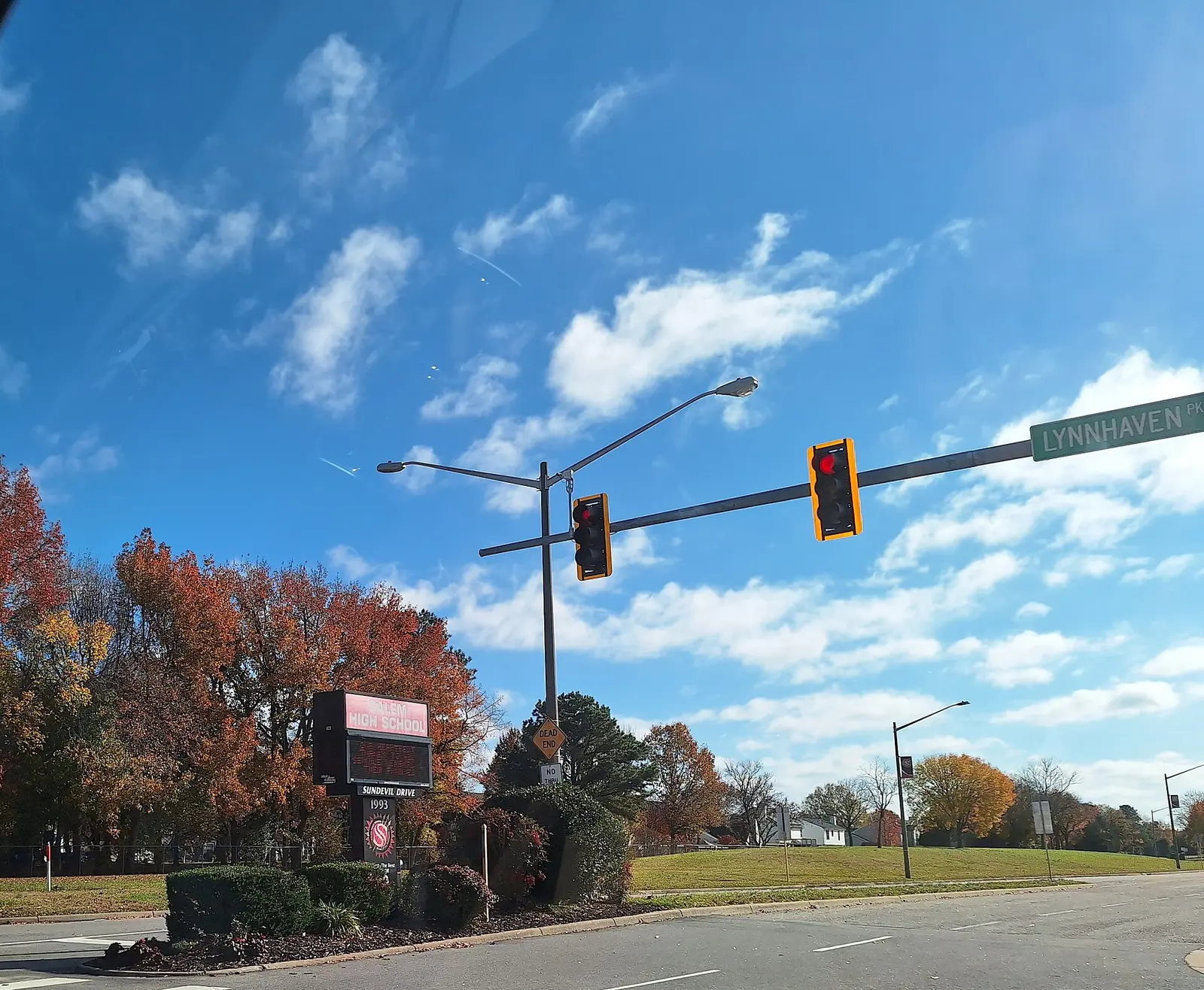
Salem, around Lynnhaven Parkway and Salem Road, is mostly in ZIP 23456, where the typical home value was $554,166 in September 2026. Zoned high school: Salem High.
Last checked Oct. 19, 2026. Sources: OpenStreetMap place data, the City of Virginia Beach’s park property layer, Virginia Beach City Public Schools’ 2026-27 attendance zones, the state’s School Quality Profiles, the Census Bureau’s ZIP code boundaries, Zillow Research and Hampton Roads Transit’s schedule data.
Salem is a residential part of the city south of Kempsville and Town Center, along Lynnhaven Parkway, Salem Road and Princess Anne Road, and it gives its name to Salem High and Salem Middle schools. It is not a strategic growth area; OpenStreetMap places Salem on Lynnhaven Parkway.
What this means for you
- Zoned high school: Salem High at the middle of the area. Check an address with the VBCPS School Locator.
- Home value: $554,166 in ZIP 23456 in September 2026, according to the Zillow Home Value Index.
- Interstate: none in the area; Independence Boulevard runs north to I-264 exit 17, about 5 miles by road.
Part of our Virginia Beach neighborhoods guide.
Where it is
On this page Salem is the area within about 1.5 miles of the point where OpenStreetMap places it. Lynnhaven Parkway, Salem Road, Princess Anne Road and Independence Boulevard are the main roads. OpenStreetMap names Bellamy Plantation and Bellwood Meadows as neighborhoods inside it.
The middle of the area is in ZIP code 23456, in the Census Bureau’s ZIP code boundaries, and the edges reach 23453, 23462 and 23464. ZIP codes here are large, so the Zillow figures below cover much more than Salem.
Schools
These are the 2026-27 zones at the middle of the area, from the division’s attendance zone maps. Every Virginia Beach school was fully accredited for 2025-26 on the state’s School Quality Profiles; graduation rates are the four-year on-time rate for the class of 2026.
| Level | School | State profile |
|---|---|---|
| High | Salem High, 1993 Sun Devil Drive | 99% on-time graduation |
| Middle | Salem Middle, 2380 Lynnhaven Parkway | Fully accredited |
| Elementary | Rosemont Forest Elementary, 1716 Grey Friars Chase | Fully accredited |
The area is split among many zones. The edges reach the Green Run (94%), Kempsville (96%) and Landstown (94%) high zones; the Brandon, Kempsville, Landstown and Larkspur middle zones; and 10 other elementary zones, including Salem, Glenwood, Indian Lakes and Rosemont. Check one address with the School Locator. More in our schools guide.
Home values
The typical home value in ZIP 23456 was $554,166 in September 2026, up 3.8% from $533,854 a year earlier, according to the Zillow Home Value Index. In 23464 it was $405,275, up 3%, and in 23453 it was $372,109, up 3.5%. The index is a modeled typical value for the middle third of homes, not a sale price, and each figure covers a whole ZIP code. The citywide figure was $424,785. More in our home prices guide.
Parks and trails
From the city’s park property records:
- Hampton Roads Soccer Complex, 2276 Recreation Drive, an 86-acre athletic complex
- Salem Woods Park, 1525 Salem Road, a 25-acre community park
- Wyndamere Park, 4076 Ware Neck Drive
- South Independence Trail, a linear park along Independence Boulevard (bikeways and trails)
- Rosemont Forest East Park, 2300 Lynnhaven Parkway, and Rosemont Forest Park, 4360 Pleasant Valley Road
- Salem Lakes Park, 2080 Centennial Circle, and Sunstream Park, 4052 Rainbow Drive
Stumpy Lake Natural Area, 4797 Indian River Road, is just west of the area. More in our parks guide.
Getting around
- Interstates: none in the area. Independence Boulevard and Lynnhaven Parkway run north to I-264; exits 16 and 17 are each about 5 miles by road.
- Town Center: about 4.5 miles by road from the middle of the area.
- Oceanfront: about 11 miles.
- Norfolk International Airport: about 12 miles. All are distances measured on the OpenStreetMap road network with the OSRM routing engine, not drive times.
- Hampton Roads Transit routes with stops here: 12 (Indian River Road), 25 (Newtown Road and Princess Anne Road), 26 (Lynnhaven Mall and TCC Virginia Beach), 33 (General Booth Boulevard), 36 (Holland Road), and the 972 and 981 express routes from TCC Virginia Beach.
More in our getting around guide.
Groceries and everyday stores
From OpenStreetMap:
- Walmart Supercenter, 2021 Lynnhaven Parkway
- CVS Pharmacy, 4500 Princess Anne Road
How we drew this area
Salem has no city boundary, so this page uses a circle of about 1.5 miles around the point where OpenStreetMap places it. School zones are the ones at that point in the division’s 2026-27 zone maps, plus every other zone inside the circle. Neighborhood names and store locations are © OpenStreetMap contributors.
Frequently asked questions
What ZIP code is Salem in Virginia Beach?
The middle of Salem is in ZIP code 23456, and the area also reaches 23453, 23462 and 23464. Zillow put the typical home value at $554,166 in 23456 and $405,275 in 23464 in September 2026.
What schools serve the Salem area?
At the middle of the area the 2026-27 zones are Rosemont Forest Elementary, Salem Middle and Salem High. Edges fall in the Green Run, Kempsville and Landstown high zones, so check one address with the VBCPS School Locator.
Is Salem a good place to live?
Salem has more than 15 city park properties within about 1.5 miles of its center, including Salem Woods Park and the Hampton Roads Soccer Complex, and is zoned at its middle for Salem High, which had a 99% on-time graduation rate for the class of 2026. The typical home value in 23456 was $554,166 in September 2026, according to Zillow.
Where is Salem High School in Virginia Beach?
Salem High is at 1993 Sun Devil Drive, off Lynnhaven Parkway. Salem Middle is at 2380 Lynnhaven Parkway.
Have your say