Pungo, at Princess Anne and Indian River roads, is in ZIP 23456 with rural 23457 to the south. Zoned high school: Floyd Kellam. No bus route stops here.
Last checked Oct. 19, 2026. Sources: OpenStreetMap place data, the City of Virginia Beach’s context areas page, Princess Anne Commons and Transition Area page and park property layer, Virginia Beach City Public Schools’ 2026-27 attendance zones, the state’s School Quality Profiles, the Census Bureau’s ZIP code boundaries and Zillow Research.
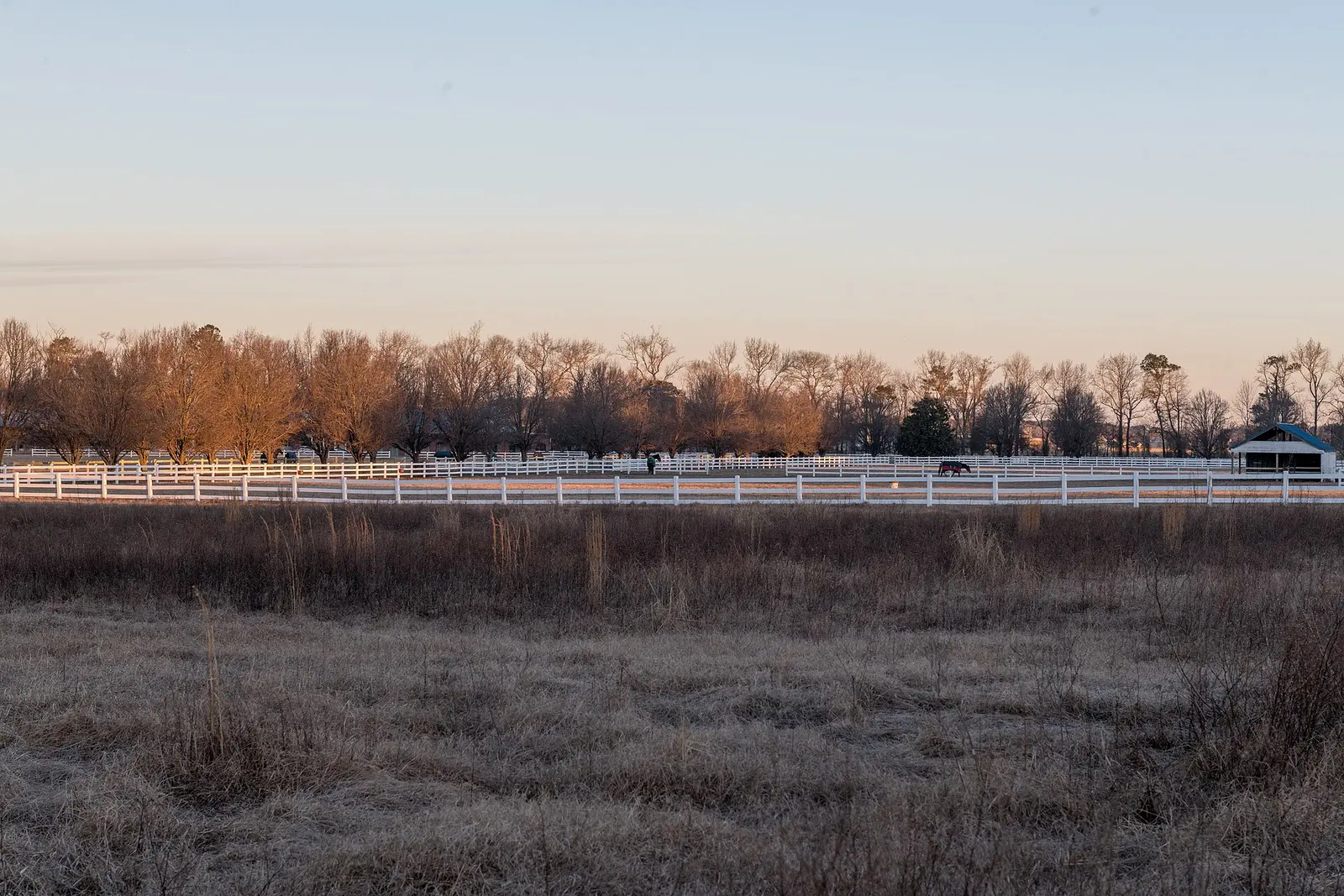
Pungo is the crossroads of Princess Anne Road and Indian River Road in the southern half of the city, where subdivisions give way to farms and horse pastures. OpenStreetMap places Pungo at that intersection. For the farm stands and pick-your-own fields, see our fall festivals and pumpkin patches guide.
What this means for you
- Zoned high school: Floyd Kellam High for the whole area. Check an address with the VBCPS School Locator.
- Home value: $554,166 in ZIP 23456 and $671,607 in 23457 in September 2026, according to the Zillow Home Value Index.
- Interstate: none nearby; the closest I-264 exits are about 11 miles by road.
Part of our Virginia Beach neighborhoods guide.
Where it is
Indian River Road is the southern border of the city’s Transition Area, which the city’s Princess Anne Commons and Transition Area page says runs north to Princess Anne and Sandbridge roads, west to North Landing Road and east to New Bridge Road. There the city asks for “a maximum average calculated density of one dwelling unit per acre.”
Farther south is the Rural context area, which “will continue to support rural and agricultural lands and serve essential conservation functions,” the city’s context areas page says. The same page calls agriculture “the city’s third-largest industry, following tourism and defense.”
The crossroads is in ZIP code 23456, in the Census Bureau’s ZIP code boundaries; the land to the south, toward Creeds, is in 23457.
Schools
These are the 2026-27 zones at the Pungo crossroads, from the division’s attendance zone maps. Every Virginia Beach school was fully accredited for 2025-26 on the state’s School Quality Profiles; the graduation rate is the four-year on-time rate for the class of 2026.
| Level | School | State profile |
|---|---|---|
| High | Floyd Kellam High, 2665 West Neck Road | 99% on-time graduation |
| Middle | Princess Anne Middle, 2323 Holland Road | Fully accredited |
| Elementary | Creeds Elementary, 920 Princess Anne Road | Fully accredited |
Every address within about 2 miles of the crossroads is in the Kellam High zone. Elementary zones nearby also include North Landing, Princess Anne, Red Mill and Three Oaks, and part of the area is zoned for Landstown Middle. Check one address with the School Locator. More in our schools guide.
Home values
The typical home value in ZIP 23457 was $671,607 in September 2026, up 6% from $633,751 a year earlier, the biggest gain of any Virginia Beach ZIP code in Zillow’s file, according to the Zillow Home Value Index. In 23456 it was $554,166, up 3.8%. The index is a modeled typical value for the middle third of homes, not a sale price. The citywide figure was $424,785. More in our home prices guide.
Parks and trails
From the city’s park property records:
- Red Mill Farms Park, 1900 Sandbridge Road, a 14-acre community park
- Lotus Garden Park, 1289 Sandbridge Road, with a kayak launch
- New Bridge Park, 3180 New Bridge Road, 35 acres of preserved open space
- West Neck Creek Natural Area, 2249 North Landing Road (city page)
- Farther south: Pungo Ferry Landing Park, 2272 Old Pungo Ferry Road (city page), and Munden Point Park, 2001 Pefley Lane, a 101-acre metro park
More in our parks guide.
Getting around
- Interstates: none nearby. The closest I-264 exits, 21 and 22, are about 11 miles by road.
- Oceanfront: about 10.7 miles by road from the crossroads.
- Town Center: about 12.3 miles.
- Norfolk International Airport: about 20.5 miles. All are distances measured on the OpenStreetMap road network with the OSRM routing engine, not drive times.
- Buses: no Hampton Roads Transit route stops within about 2 miles, according to HRT’s schedule data.
More in our getting around guide.
Groceries and everyday stores
From OpenStreetMap: Food Lion, 2005 Sandbridge Road, near Red Mill, is north of the crossroads.
How we drew this area
Pungo has no city boundary, so this page uses a circle of about 2 miles around the point where OpenStreetMap places it. School zones are the ones at that point in the division’s 2026-27 zone maps, plus every other zone inside the circle. Store locations are © OpenStreetMap contributors.
Frequently asked questions
What ZIP code is Pungo in Virginia Beach?
The Pungo crossroads at Princess Anne and Indian River roads is in ZIP code 23456, and the rural land to the south is in 23457. Zillow put the typical home value at $554,166 in 23456 and $671,607 in 23457 in September 2026.
What schools serve Pungo?
At the Pungo crossroads the 2026-27 zones are Creeds Elementary, Princess Anne Middle and Floyd Kellam High. The whole area is in the Kellam High zone; elementary and middle zones vary, so check one address with the VBCPS School Locator.
Is Pungo a good place to live?
Pungo is farm country in the city’s Transition and Rural areas, where the city’s guidance for the Transition Area sets a maximum average density of one home per acre. It is zoned for Floyd Kellam High, which had a 99% on-time graduation rate for the class of 2026, and the typical home value in 23457 was $671,607 in September 2026, according to Zillow.
How far is Pungo from the Oceanfront?
About 10.7 miles by road from the Pungo crossroads to Atlantic Avenue at 24th Street, and about 20.5 miles to Norfolk International Airport, measured on the OpenStreetMap road network.
Have your say