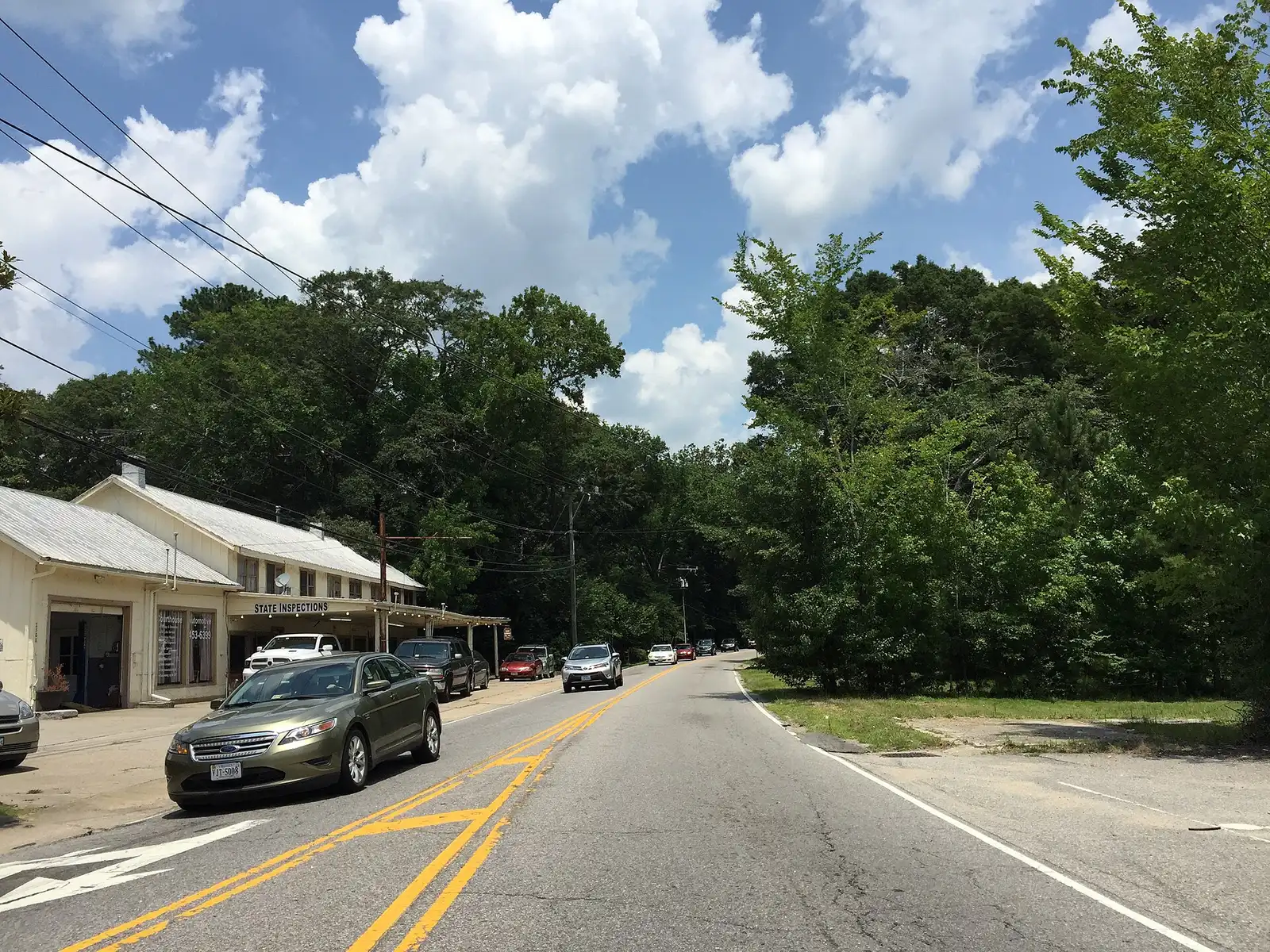
The Princess Anne and Courthouse area, home of the Municipal Center, is in ZIP 23456, where the typical home value was $554,166 in September 2026. Zoned high school: Kellam.
Last checked Oct. 19, 2026. Sources: the City of Virginia Beach’s context areas page, Princess Anne Commons and Transition Area page and park property layer, Virginia Beach City Public Schools’ 2026-27 attendance zones, the state’s School Quality Profiles, Zillow Research, Hampton Roads Transit’s schedule data and OpenStreetMap.
The Municipal Center, the city’s government campus at Princess Anne Road and Courthouse Drive, is where OpenStreetMap places Princess Anne. The city’s comprehensive plan calls the band of land around it the Courthouse context area: neighborhoods, sports fields and open space between the built-up north and the farms to the south.
What this means for you
- Zoned high school: Floyd Kellam High at the Municipal Center. Check an address with the VBCPS School Locator.
- Home value: $554,166 in ZIP 23456 in September 2026, according to the Zillow Home Value Index.
- Interstate: none nearby; the closest I-264 exits, 19 and 20, are about 8 miles by road.
Part of our Virginia Beach neighborhoods guide.
Where it is
The city’s context areas page puts the Courthouse area “between the Green Line and Rural Area Boundary,” as “a density and intensity step-down” between the developed north and the rural south. It “seeks to maintain low-density neighborhoods and open space” and is “home to some medical and retail uses.”
Two plans guide it. Princess Anne Commons, the plan says, “emphasizes education, recreation, and habitat preservation.” The Transition Area, the city’s Princess Anne Commons and Transition Area page says, “is bordered by Princess Anne and Sandbridge roads along the Green Line to the north, North Landing Road to the west, Indian River Road to the south, and New Bridge Road to the east.” There the city asks for “a maximum average calculated density of one dwelling unit per acre,” 50% open space and trails, and it names Nimmo Parkway as the area’s main east-west road when complete.
On this page the area is the land within about 2 miles of the Municipal Center. It is in ZIP code 23456, with a strip of 23453 at the northwest edge. OpenStreetMap names Colony Acres as a neighborhood inside it.
Schools
These are the 2026-27 zones at the Municipal Center, from the division’s attendance zone maps. Every Virginia Beach school was fully accredited for 2025-26 on the state’s School Quality Profiles; graduation rates are the four-year on-time rate for the class of 2026.
| Level | School | State profile |
|---|---|---|
| High | Floyd Kellam High, 2665 West Neck Road | 99% on-time graduation |
| Middle | Princess Anne Middle, 2323 Holland Road | Fully accredited |
| Elementary | Princess Anne Elementary, 2444 Seaboard Road | Fully accredited |
The area is split. The edges reach the Landstown (94%) and Ocean Lakes (99%) high zones; the Corporate Landing and Landstown middle zones; and the Christopher Farms, North Landing, Strawbridge and Three Oaks elementary zones. Check one address with the School Locator. More in our schools guide.
Home values
The typical home value in ZIP 23456 was $554,166 in September 2026, up 3.8% from $533,854 a year earlier, according to the Zillow Home Value Index. The index is a modeled typical value for the middle third of homes, not a sale price, and 23456 is one of the city’s largest ZIP codes, so the figure covers much more than this area. The citywide figure was $424,785. More in our home prices guide.
Parks and trails
From the city’s park property records:
- West Neck Creek Natural Area, 2249 North Landing Road, 574 acres (city page)
- Princess Anne Commons Athletic Village, Landstown Road, a 154-acre athletic complex
- Three Oaks Park, Princess Anne Road, a 40-acre community park on the Three Oaks path
- Foxfire Trail, 2393 North Landing Road (city page)
- Rolling Woods Park, 1704 Prodan Lane, and Holland Woods Park, 1700 Hammerstone Court
- Virginia Beach National Golf Course, 2500 Tournament Drive
More in our parks guide.
Getting around
- Interstates: none nearby. The closest I-264 exits, 19 (Lynnhaven Parkway) and 20 (Virginia Beach Boulevard and Laskin Road), are about 8 miles by road.
- Town Center: about 8.8 miles by road from the Municipal Center.
- Oceanfront: about 9.9 miles.
- Norfolk International Airport: about 16.5 miles. All are distances measured on the OpenStreetMap road network with the OSRM routing engine, not drive times.
- Hampton Roads Transit: route 33 (General Booth Boulevard) has stops in the area.
More in our getting around guide.
Groceries and everyday stores
From OpenStreetMap: Harris Teeter, 2476 Nimmo Parkway.
How we drew this area
The area is named for the city’s Courthouse context area and OpenStreetMap’s Princess Anne place. This page uses a circle of about 2 miles around that point; school zones are the ones at the Municipal Center in the division’s 2026-27 zone maps, plus every other zone inside the circle. Store locations are © OpenStreetMap contributors.
Frequently asked questions
Where is the Courthouse area of Virginia Beach?
The city’s comprehensive plan calls the land between the Green Line and the Rural Area Boundary the Courthouse context area. Its center is the Municipal Center at Princess Anne Road and Courthouse Drive, where OpenStreetMap places Princess Anne.
What ZIP code is the Virginia Beach Municipal Center?
The Municipal Center, 2401 Courthouse Drive, and the area around it are in ZIP code 23456. Zillow put the typical home value in 23456 at $554,166 in September 2026, up 3.8% in a year.
What schools serve the Courthouse area?
At the Municipal Center the 2026-27 zones are Princess Anne Elementary, Princess Anne Middle and Floyd Kellam High. Edges fall in the Landstown and Ocean Lakes high zones, so check one address with the VBCPS School Locator.
How many homes can be built in the Transition Area?
The city’s guidance for the Transition Area sets a maximum average density of one dwelling unit per acre, except where otherwise recommended, and asks developments to aim for 50% open space.
Have your say