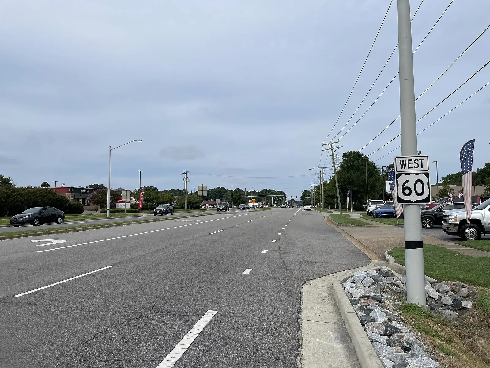
Bayside, along Shore Drive near the Chesapeake Bay, is in ZIP 23455, where the typical home value was $457,940 in September 2026. Zoned high school at its center: Cox.
Last checked Oct. 19, 2026. Sources: OpenStreetMap place data, the City of Virginia Beach’s park property layer and historic neighborhoods page, Virginia Beach City Public Schools’ 2026-27 attendance zones, the state’s School Quality Profiles, Zillow Research and Hampton Roads Transit’s schedule data.
Bayside is in the northwest part of Virginia Beach, near the Chesapeake Bay, with Shore Drive (U.S. 60) as its main street. It is not a strategic growth area, and the city has no separate plan for it; OpenStreetMap places Bayside on Price Circle near Shore Drive.
What this means for you
- Zoned high school: Frank W. Cox High at the middle of the area; parts are zoned for Bayside or Princess Anne High. Check an address with the VBCPS School Locator.
- Home value: $457,940 in ZIP 23455 in September 2026, according to the Zillow Home Value Index.
- Interstate: none in the area; Independence Boulevard runs south to I-264 exit 17, about 4.6 miles by road to Town Center.
Part of our Virginia Beach neighborhoods guide.
Where it is
On this page Bayside is the area within about 1.5 miles of the point where OpenStreetMap places it. Shore Drive, Independence Boulevard, Haygood Road and Pleasure House Road are the main roads. Almost all of it is in ZIP code 23455; the northwest edge touches 23459.
OpenStreetMap names Bayville, Bayville Park, Baylake Pines, Beechwood, Chesapeake Beach, Fentress, Lake Shores, Lake Smith Terrace, Lakeview Park, Lakeview Shores and Thoroughgood as neighborhoods inside it. Beechwood was one of the first four of 14 historic African American neighborhoods to get a brick entrance sign under the city’s historic neighborhoods program.
Schools
These are the 2026-27 zones at the middle of the area, from the division’s attendance zone maps. Every Virginia Beach school was fully accredited for 2025-26 on the state’s School Quality Profiles; graduation rates are the four-year on-time rate for the class of 2026.
| Level | School | State profile |
|---|---|---|
| High | Frank W. Cox High, 2425 Shorehaven Drive | 97% on-time graduation |
| Middle | Great Neck Middle, 1848 N. Great Neck Road | Fully accredited |
| Elementary | Hermitage Elementary, 1701 Pleasure House Road | Fully accredited |
The area is split. Parts are zoned for Bayside High (99%), 4960 Haygood Road, or Princess Anne High (97%); for Independence Middle; and for Shelton Park or Thoroughgood elementary schools. Check one address with the School Locator. More in our schools guide.
Home values
The typical home value in ZIP 23455 was $457,940 in September 2026, up 3.4% from $442,923 a year earlier, according to the Zillow Home Value Index. The index is a modeled typical value for the middle third of homes, not a sale price, and it covers the whole ZIP code. The citywide figure was $424,785. More in our home prices guide.
Parks and trails
From the city’s park property records:
- Pleasure House Point Natural Area, 3957 Marlin Bay Drive, about 110 acres (city page)
- Bayville Farms Park, 4132 First Court Road, a 48-acre metro park
- Bayside Recreation Center, 4500 First Court Road (city page)
- Chesapeake Beach Park, 2528 Beaufort Ave.
- Lakeview Shores Park, 4712 McKenzie Drive, and Hermitage Park, 4730 Andrew Jackson Lane
First Landing State Park, 2500 Shore Drive, is east along Shore Drive. More in our parks guide.
Getting around
- Interstates: none in the area. Independence Boulevard runs south to I-264 exit 17, and Northampton Boulevard (U.S. 13) runs west to I-64 exit 282 in Norfolk, by the exit numbers in OpenStreetMap.
- Town Center: about 4.6 miles by road from the middle of the area.
- Oceanfront: about 12 miles.
- Norfolk International Airport: about 6.7 miles. All are distances measured on the OpenStreetMap road network with the OSRM routing engine, not drive times.
- Hampton Roads Transit routes with stops here: 22 (Wesleyan Drive and Haygood Road), 29 (Great Neck Road and Lynnhaven Parkway), 35 (Bayfront and Oceanfront shuttle) and 36 (Holland Road).
More in our getting around guide.
Groceries and everyday stores
From OpenStreetMap:
- Kroger, 4625 Shore Drive
- Aldi, 4803 Shore Drive
- Walgreens, 4768 Shore Drive
- CVS Pharmacy, 1701 Independence Blvd.
How we drew this area
Bayside has no city boundary, so this page uses a circle of about 1.5 miles around the point where OpenStreetMap places it. School zones are the ones at that point in the division’s 2026-27 zone maps, plus every other zone inside the circle. Neighborhood names and store locations are © OpenStreetMap contributors.
Frequently asked questions
What ZIP code is Bayside in Virginia Beach?
Bayside is in ZIP code 23455. Zillow put the typical home value in 23455 at $457,940 in September 2026, up 3.4% in a year.
Is Bayside zoned for Bayside High School?
Not at its center. Where OpenStreetMap places Bayside, near Shore Drive, the 2026-27 zones are Hermitage Elementary, Great Neck Middle and Frank W. Cox High. Parts of the area are zoned for Bayside or Princess Anne High, so check one address with the VBCPS School Locator.
Is Bayside a good place to live?
Bayside has nine city park properties within about 1.5 miles of its center, including Pleasure House Point Natural Area and Bayville Farms Park, and is zoned at its middle for Frank W. Cox High, which had a 97% on-time graduation rate for the class of 2026. The typical home value in 23455 was $457,940 in September 2026, according to Zillow.
What parks are in Bayside Virginia Beach?
City parks include Pleasure House Point Natural Area at 3957 Marlin Bay Drive, Bayville Farms Park at 4132 First Court Road and the Bayside Recreation Center at 4500 First Court Road.
Have your say